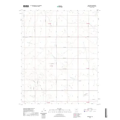
2020 Map of King Draw
USGS Topo · Published 2020About this map
Hyer and its surrounding ranchlands characterize this portion of Santa Fe County as it appeared in 2020. This arid landscape is defined by its drainages, including the Cañada de la Narrias and the namesake King Draw, which channel the region's intermittent water flow through the high-desert terrain. For genealogists and local historians, the Hyer Cem stands as a significant point of reference just off Simmons Rd, marking the legacy of the area's early residents.
Find a feature on this map
42 named features on this map. Tap any name to fly to it.
Don’t see what you’re looking for? This feature index may not catch every label — zoom into the map to look around manually.
Map Details
Editions of this 2020 King Draw Map
This is the sole edition of this map. No revisions or reprints were ever made.
Other maps of this area

1892 · San Pedro
USGS Topo · 1:125,000

1894 · Lamy
USGS Topo · 1:125,000

1954 · San Pedro
USGS Topo · 1:24,000

1954 · Edgewood
USGS Topo · 1:24,000

1954 · Santa Fe
USGS Topo · 1:250,000

1956 · Edgewood
USGS Topo · 1:62,500

1958 · Santa Fe
USGS Topo · 1:250,000

1958 · Albuquerque
USGS Topo · 1:250,000

1960 · Stanley
USGS Topo · 1:62,500

1961 · Madrid
USGS Topo · 1:62,500