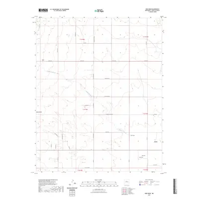
2023 Map of King Draw
USGS Topo · Published 2023About this map
Hyer and Cedar Grove sit along the western edge of this central New Mexico landscape, where the high plains are carved by seasonal watercourses and a sprawling network of ranch roads. The drainage of Cañada de la Narrias winds through the center of the quadrangle, flanked by significant topographical features such as Hyer Draw, King Draw, and Big Draw.
Find a feature on this map
41 named features on this map. Tap any name to fly to it.
Don’t see what you’re looking for? This feature index may not catch every label — zoom into the map to look around manually.
Map Details
Editions of this 2023 King Draw Map
This is the sole edition of this map. No revisions or reprints were ever made.
Other maps of this area

1892 · San Pedro
USGS Topo · 1:125,000

1894 · Lamy
USGS Topo · 1:125,000

1954 · San Pedro
USGS Topo · 1:24,000

1954 · Edgewood
USGS Topo · 1:24,000

1954 · Santa Fe
USGS Topo · 1:250,000

1956 · Edgewood
USGS Topo · 1:62,500

1958 · Santa Fe
USGS Topo · 1:250,000

1958 · Albuquerque
USGS Topo · 1:250,000

1960 · Stanley
USGS Topo · 1:62,500

1961 · Madrid
USGS Topo · 1:62,500