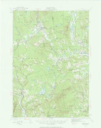
1930 Map of Kingfield
USGS Topo · Published 1969About this map
The Carrabassett River and Sandy River define the industrial and agricultural corridors of Franklin County on this 1930 survey. The village of Kingfield serves as a northern hub, where the river's path once powered local commerce alongside sites like Soule Mill. To the south, the settlement of Strong marks a junction of river and rail, with the Hartwell Intervale showcasing the flat, fertile floodplains utilized for farming between the surrounding peaks.
Find a feature on this map
125 named features on this map. Tap any name to fly to it.
Don’t see what you’re looking for? This feature index may not catch every label — zoom into the map to look around manually.
Map Details
Editions of this 1930 Kingfield Map
4 editions found

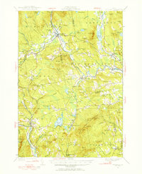
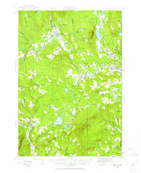
Other maps of this area

1894 · Norridgewock
USGS Topo · 1:62,500

1898 · Norridgewock
USGS Topo · 1:62,500

1903 · Bingham
USGS Topo · 1:62,500

1904 · Anson
USGS Topo · 1:62,500

1905 · Bingham
USGS Topo · 1:62,500

1924 · Farmington
USGS Topo · 1:62,500

1926 · Dixfield
USGS Topo · 1:62,500

1928 · Dead River
USGS Topo · 1:62,500

1928 · Stratton
USGS Topo · 1:48,000

1929 · Phillips
USGS Topo · 1:48,000