
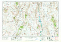
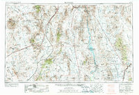
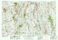
1954 Map of Kingman
USGS Topo · Published 1964About this map
Kingman and the Colorado River valley anchor this mid-century look at the High Desert transition between Arizona, Nevada, and California. The landscape is defined by its industrial and transportation arteries, from the heavy rail lines of the Union Pacific and Santa Fe to the major automotive routes of U.S. 66. Mining history is deeply etched into the terrain, visible through the numerous operations like the Potosi Mine, Keystone Mill, and the King Tut Mine scattered across the Shadow Mountains and Black Mountains.
Find a feature on this map
158 named features on this map. Tap any name to fly to it.
Don’t see what you’re looking for? This feature index may not catch every label — zoom into the map to look around manually.
Map Details
Editions of this 1954 Kingman Map
4 editions found
Other maps of this area

1886 · Diamond Creek
USGS Topo · 1:250,000

1886 · Camp Mohave
USGS Topo · 1:250,000

1886 · Saint Thomas
USGS Topo · 1:250,000

1886 · Mt. Trumbull
USGS Topo · 1:250,000

1892 · Diamond Creek
USGS Topo · 1:250,000

1892 · Mt. Trumbull
USGS Topo · 1:250,000

1892 · Camp Mohave
USGS Topo · 1:250,000

1893 · Saint Thomas
USGS Topo · 1:250,000

1903 · Needles
USGS Topo · 1:125,000

1904 · Needles Special
USGS Topo · 1:125,000