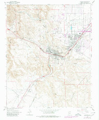
1967 Map of Kingman
USGS Topo · Published 1980About this map
Kingman serves as the focal point of this Mojave Desert landscape, positioned where the Hualapai Valley and Sacramento Valley meet amidst a backdrop of canyon-cut mountains. The town shows significant mid-century expansion toward Hilltop and Getz, with the corporate boundary enclosing a grid of streets including Miami Ave and Lucille Ave. The transport infrastructure is dominated by the curving path of the Atchison Topeka and Santa Fe RR, which facilitates connections toward McConnico and Harris to the southwest. Educational and community life is anchored by facilities such as Manzanita Sch and the County Fairgrounds. To the west, the Cerbat Mountains rise sharply, dotted with numerous mines and prospects, while springs like Beale Spr and Atlantic Spring suggest the critical importance of water sources in this arid region before modern development fully transformed the terrain.
Find a feature on this map
54 named features on this map. Tap any name to fly to it.
Don’t see what you’re looking for? This feature index may not catch every label — zoom into the map to look around manually.
Map Details
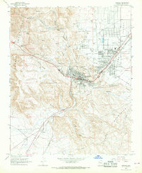
Editions of this 1967 Kingman Map
2 editions found
Other maps of this area

1886 · Diamond Creek
USGS Topo · 1:250,000

1886 · Camp Mohave
USGS Topo · 1:250,000

1892 · Diamond Creek
USGS Topo · 1:250,000

1892 · Camp Mohave
USGS Topo · 1:250,000

1939 · Chloride
USGS Topo · 1:48,000

1942 · Camp Mohave
USGS Topo · 1:250,000

1944 · Chloride
USGS Topo · 1:62,500

1947 · Kingman
USGS Topo · 1:250,000

1948 · Kingman
USGS Topo · 1:250,000

1948 · Williams
USGS Topo · 1:250,000