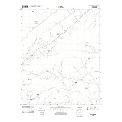
2010 Map of Kings Creek
USGS Topo · Published 2010About this map
Hibriten Mountain and Timbered Ridge dominate the southwestern skyline of this landscape, where the terrain transitions from the foothills toward the Upper Little River valley. The 2010 geography reflects a mix of traditional agriculture and modern residential development, with long-standing family-named locations like Auld Farm and Old Farm standing alongside suburban clusters such as Berkshire Hills and Cedar Rock. Local infrastructure is anchored by the Lenoir Water Supply Lake and the Lower Creek Airport, serving the community near the LeMar Park district.
Find a feature on this map
88 named features on this map. Tap any name to fly to it.
Don’t see what you’re looking for? This feature index may not catch every label — zoom into the map to look around manually.
Map Details
Editions of this 2010 Kings Creek Map
This is the sole edition of this map. No revisions or reprints were ever made.
Other maps of this area

1889 · Wilkesboro
USGS Topo · 1:125,000

1891 · Wilkesboro
USGS Topo · 1:125,000

1893 · Cranberry
USGS Topo · 1:125,000

1895 · Hickory
USGS Topo · 1:125,000

1895 · Cranberry
USGS Topo · 1:125,000

1899 · Cranberry
USGS Topo · 1:125,000

1902 · Cranberry
USGS Topo · 1:125,000

1905 · Morganton
USGS Topo · 1:125,000

1936 · Blowing Rock
USGS Topo · 1:48,000

1942 · Blowing Rock
USGS Topo · 1:62,500