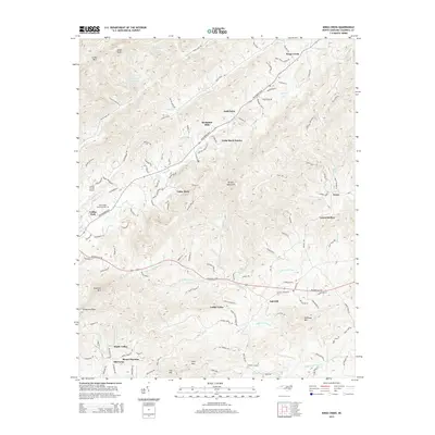
2014 Map of Kings Creek
USGS Topo · Published 2014About this map
Kings Creek and the surrounding foothills of the Brushy Mountains are characterized by a network of rural settlements and family farms northeast of Lenoir. The landscape is defined by the headwaters of several drainages, including the Upper Little River and Lower Creek, which flow through valleys separated by prominent peaks like Hibriten Mountain and Moses Knob. Residential developments like Cedar Rock Estates and Berkshire Hills appear alongside older named locations such as Oak Hill and Mount Herman.
Find a feature on this map
128 named features on this map. Tap any name to fly to it.
Don’t see what you’re looking for? This feature index may not catch every label — zoom into the map to look around manually.
Map Details
Editions of this 2014 Kings Creek Map
This is the sole edition of this map. No revisions or reprints were ever made.
Other maps of this area

1889 · Wilkesboro
USGS Topo · 1:125,000

1891 · Wilkesboro
USGS Topo · 1:125,000

1893 · Cranberry
USGS Topo · 1:125,000

1895 · Hickory
USGS Topo · 1:125,000

1895 · Cranberry
USGS Topo · 1:125,000

1899 · Cranberry
USGS Topo · 1:125,000

1902 · Cranberry
USGS Topo · 1:125,000

1905 · Morganton
USGS Topo · 1:125,000

1936 · Blowing Rock
USGS Topo · 1:48,000

1942 · Blowing Rock
USGS Topo · 1:62,500