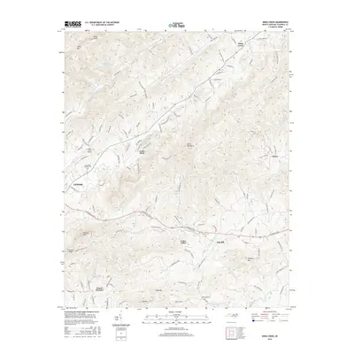
2016 Map of Kings Creek
USGS Topo · Published 2016About this map
The Brushy Mountains dominate this 2016 view of Caldwell County, where the transition from the city of Lenoir to rural highlands is marked by a network of creeks and prominent summits. Water management and local aviation are central to the landscape, anchored by the Lenoir Water Supply Lake and the Lower Creek Airport. Small settlements like Kings Creek and Cedar Rock are connected by a dense web of local roads such as Laxton Rd and Zacks Fork Rd, showing the modern footprint of these long-established communities.
Find a feature on this map
121 named features on this map. Tap any name to fly to it.
Don’t see what you’re looking for? This feature index may not catch every label — zoom into the map to look around manually.
Map Details
Editions of this 2016 Kings Creek Map
This is the sole edition of this map. No revisions or reprints were ever made.
Other maps of this area

1889 · Wilkesboro
USGS Topo · 1:125,000

1891 · Wilkesboro
USGS Topo · 1:125,000

1893 · Cranberry
USGS Topo · 1:125,000

1895 · Hickory
USGS Topo · 1:125,000

1895 · Cranberry
USGS Topo · 1:125,000

1899 · Cranberry
USGS Topo · 1:125,000

1902 · Cranberry
USGS Topo · 1:125,000

1905 · Morganton
USGS Topo · 1:125,000

1936 · Blowing Rock
USGS Topo · 1:48,000

1942 · Blowing Rock
USGS Topo · 1:62,500