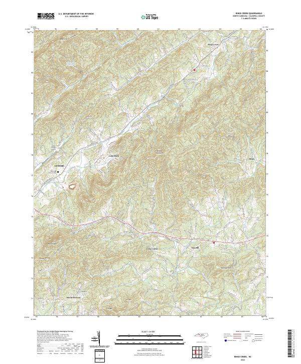
2022 Map of Kings Creek
USGS Topo · Published 2022About this map
The Brushy Mountains dominate the eastern landscape of this Caldwell County quadrangle, where the transition from high ridgelines to valley floor defines the local settlement pattern. In the west, the city of Lenoir begins to transition into more rural territory, marked by the Blue Ridge Memorial Park and the small Lower Creek Airport. The terrain is deeply corrugated, with numerous family-named peaks such as Moses Knob and Bullinger Mtn rising above the headwaters of the Little River and Zacks Fork Cr.
Find a feature on this map
116 named features on this map. Tap any name to fly to it.
Don’t see what you’re looking for? This feature index may not catch every label — zoom into the map to look around manually.
Map Details
Editions of this 2022 Kings Creek Map
This is the sole edition of this map. No revisions or reprints were ever made.
Other maps of this area

1889 · Wilkesboro
USGS Topo · 1:125,000

1891 · Wilkesboro
USGS Topo · 1:125,000

1893 · Cranberry
USGS Topo · 1:125,000

1895 · Hickory
USGS Topo · 1:125,000

1895 · Cranberry
USGS Topo · 1:125,000

1899 · Cranberry
USGS Topo · 1:125,000

1902 · Cranberry
USGS Topo · 1:125,000

1905 · Morganton
USGS Topo · 1:125,000

1936 · Blowing Rock
USGS Topo · 1:48,000

1942 · Blowing Rock
USGS Topo · 1:62,500