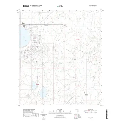
2018 Map of Kingsley
USGS Topo · Published 2018About this map
Kingsley Lake defines the northwestern corner of this Clay County landscape, its nearly circular shoreline hosting the communities of Kingsley and Kingsley Beach. A significant portion of the area is occupied by the military infrastructure of the Camp Blanding Army Airfield/National Guard Airport, with its distinctive grid of streets named after Florida cities such as Leesburg St, Arcadia St, and Ocala St.
Find a feature on this map
86 named features on this map. Tap any name to fly to it.
Don’t see what you’re looking for? This feature index may not catch every label — zoom into the map to look around manually.
Map Details
Editions of this 2018 Kingsley Map
This is the sole edition of this map. No revisions or reprints were ever made.
Other maps of this area

1918 · Middleburg
USGS Topo · 1:62,500

1918 · Lawtey
USGS Topo · 1:62,500

1941 · Starke
USGS Topo · 1:62,500

1941 · Middleburg
USGS Topo · 1:62,500

1942 · Ates Creek
USGS Topo · 1:62,500

1948 · Starke
USGS Topo · 1:50,000

1948 · Jacksonville
USGS Topo · 1:250,000

1949 · Rice Creek
USGS Topo · 1:24,000

1949 · Middleburg SW
USGS Topo · 1:24,000

1949 · Gold Head Branch
USGS Topo · 1:24,000