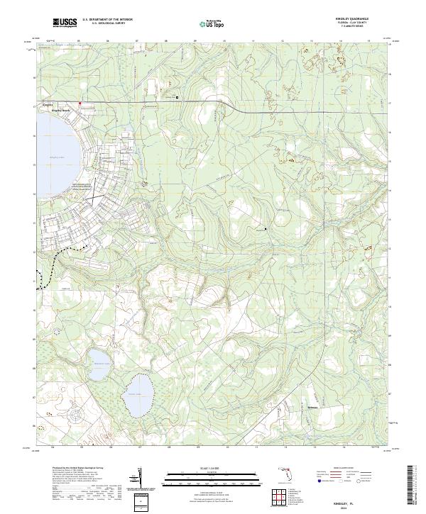
2024 Map of Kingsley
USGS Topo · Published 2024About this map
Kingsley Lake dominates the northwest corner of this modern Clay County landscape, its perfectly circular shoreline defining a unique geography long utilized by the Camp Blanding Army Airfield. The military reservation occupies a significant portion of the western terrain, with a grid of streets named after Florida cities like Ocala St, Tampa St, and Haines City St carving through the reservation's forested interior.
Find a feature on this map
85 named features on this map. Tap any name to fly to it.
Don’t see what you’re looking for? This feature index may not catch every label — zoom into the map to look around manually.
Map Details
Editions of this 2024 Kingsley Map
This is the sole edition of this map. No revisions or reprints were ever made.
Other maps of this area

1918 · Middleburg
USGS Topo · 1:62,500

1918 · Lawtey
USGS Topo · 1:62,500

1941 · Starke
USGS Topo · 1:62,500

1941 · Middleburg
USGS Topo · 1:62,500

1942 · Ates Creek
USGS Topo · 1:62,500

1948 · Starke
USGS Topo · 1:50,000

1948 · Jacksonville
USGS Topo · 1:250,000

1949 · Rice Creek
USGS Topo · 1:24,000

1949 · Middleburg SW
USGS Topo · 1:24,000

1949 · Gold Head Branch
USGS Topo · 1:24,000