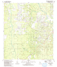
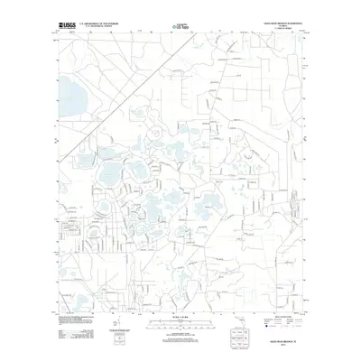
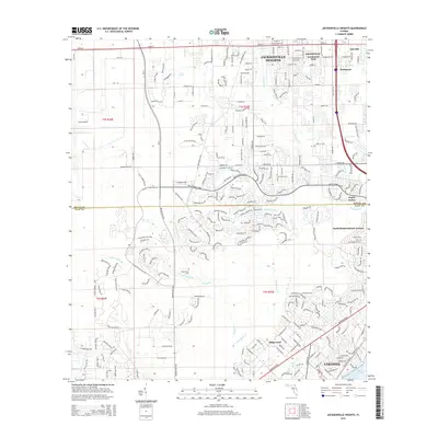
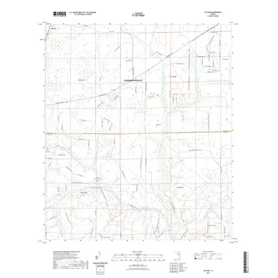
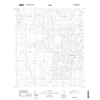
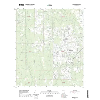
1992 Map of Kingsley
USGS Topo · Published 1993About this map
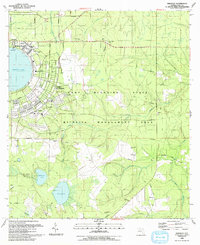
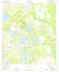
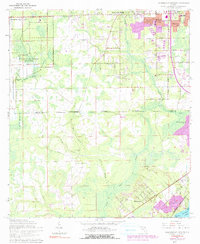
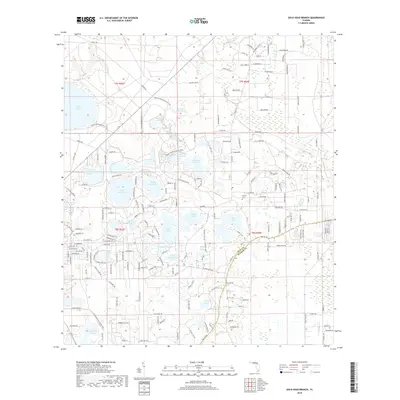
Camp Blanding dominates this Clay County landscape, revealing the extensive infrastructure of the military installation and its surrounding Camp Blanding State Wildlife Management Area. The western portion of the map is defined by the nearly perfect circle of Kingsley Lake, where the community of Kingsley Beach and a Military Academy sit adjacent to an Army Air Field. The map records a transition from the structured grid of the base, featuring named thoroughfares like Avenue A and Avenue D, to the more rural drainage basins of the North Fork Black Creek and South Fork Black Creek. Genealogists will find significant value in the documentation of local sites such as Old Conway Cem and Buelah Ch, which alongside the small settlement of Belmore, represent the long-standing community foundations in this region of northern Florida.
Find a feature on this map
33 named features on this map. Tap any name to fly to it.
Don’t see what you’re looking for? This feature index may not catch every label — zoom into the map to look around manually.
Map Details
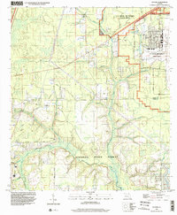
Editions of this 1992 Kingsley Map
This is the sole edition of this map. No revisions or reprints were ever made.
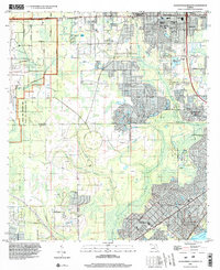
Historical Maps of Kingsley Through Time
43 maps found

1942 Ates Creek
Clay County, FL

1947 Bostwick
Clay County, FL
1949 Ates Creek
Clay County, FL
1949 Bostwick
Clay County, FL
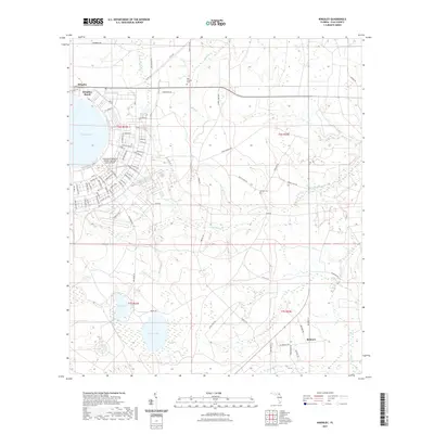
1949 Fiftone
Clay County, FL
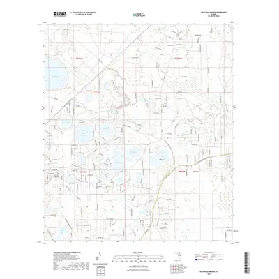
1949 Gold Head Branch
Clay County, FL
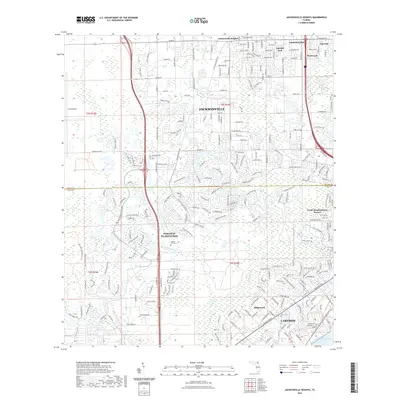
1949 Jacksonville Heights
Clay County, FL
1949 Kingsley
Clay County, FL
1949 Middleburg SW
Clay County, FL
1964 Jacksonville Heights
Clay County, FL
1992 Kingsley
Clay County, FL
1993 Fiftone
Clay County, FL
1993 Gold Head Branch
Clay County, FL
1993 Jacksonville Heights
Clay County, FL
1993 Middleburg SW
Clay County, FL
1994 Fiftone
Clay County, FL
1994 Jacksonville Heights
Clay County, FL
2012 Fiftone
Clay County, FL
2012 Gold Head Branch
Clay County, FL

2012 Jacksonville Heights
Clay County, FL
2012 Kingsley
Clay County, FL
2012 Middleburg SW
Clay County, FL

2015 Fiftone
Clay County, FL
2015 Gold Head Branch
Clay County, FL
2015 Jacksonville Heights
Clay County, FL
2015 Kingsley
Clay County, FL
2015 Middleburg SW
Clay County, FL
2018 Fiftone
Clay County, FL
2018 Gold Head Branch
Clay County, FL
2018 Jacksonville Heights
Clay County, FL
2018 Kingsley
Clay County, FL
2018 Middleburg SW
Clay County, FL
2021 Fiftone
Clay County, FL
2021 Gold Head Branch
Clay County, FL
2021 Jacksonville Heights
Clay County, FL
2021 Kingsley
Clay County, FL
2021 Middleburg SW
Clay County, FL
2023 Middleburg SW
Clay County, FL
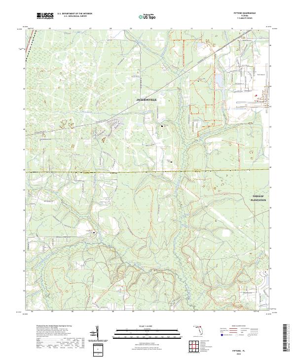
2024 Fiftone
Clay County, FL
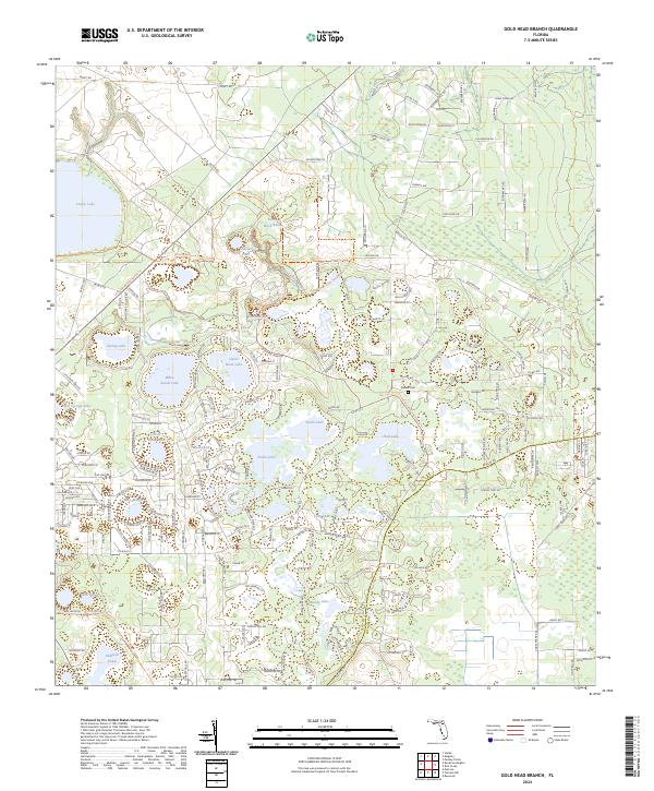
2024 Gold Head Branch
Clay County, FL
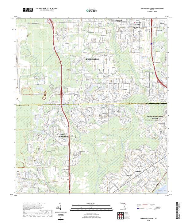
2024 Jacksonville Heights
Clay County, FL
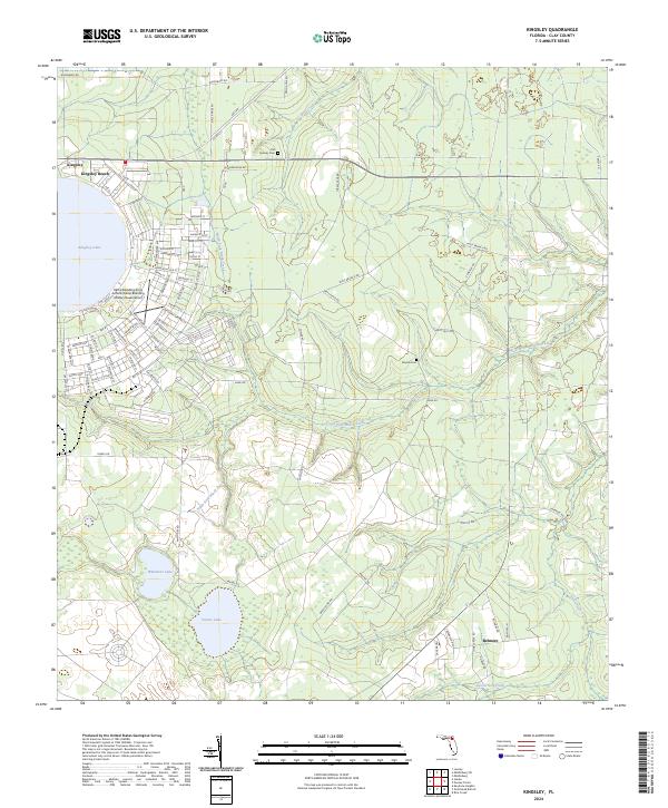
2024 Kingsley
Clay County, FL
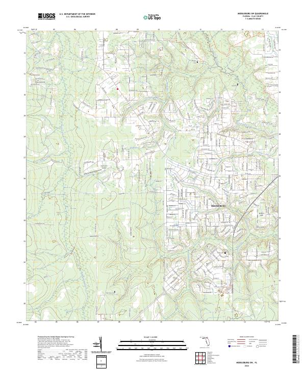
2024 Middleburg SW
Clay County, FL