Loading...
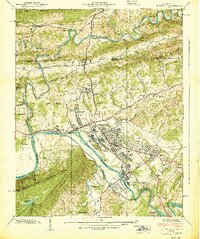
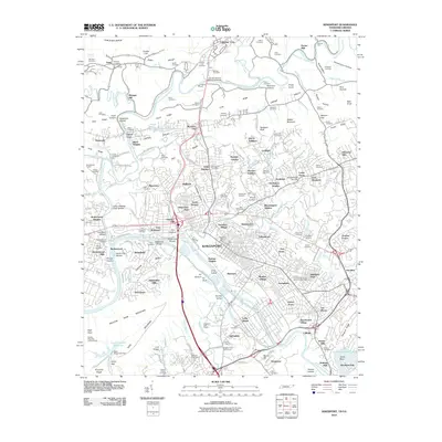
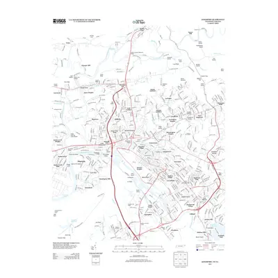
Loading map...1939 Map of Kingsport
USGS Topo · Published 1939About this map
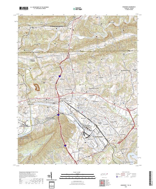
The industrial and residential growth of Kingsport centers on the confluence of the North Fork Holston River and South Fork Holston River just before World War II. The layout of the city reveals planned neighborhoods like Borden Village and Beechwood Village, positioned near the critical Clinchfield Railroad corridor. The river network, characterized by landmarks like Tillhammer Shoals and Clouds Bend, dictates the settlement patterns of outlying communities such as Pactolus and Whitesburg.
Find a feature on this map
86 named features on this map. Tap any name to fly to it.
Don’t see what you’re looking for? This feature index may not catch every label — zoom into the map to look around manually.
Map Details
Date Portrayed1939
Date Published1939
PublisherU.S. Geological Survey
Map TypeTopographic
Scale1:24,000
Physical Dimensions22 x 26.25 inches
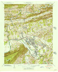
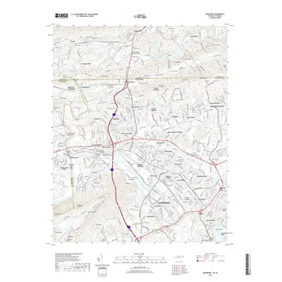
Editions of this 1939 Kingsport Map
2 editions found
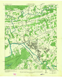
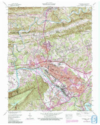
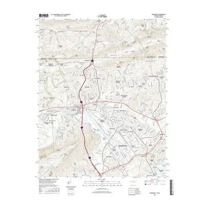
Historical Maps of Kingsport Through Time
8 maps found
Featured Locations
Source Details
SourceU.S. Geological Survey
CopyrightPublic Domain