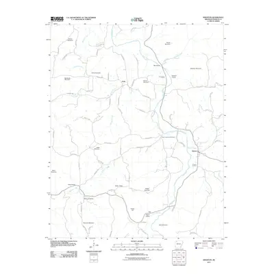
2011 Map of Kingston
USGS Topo · Published 2011About this map
The Kings River carves a winding path through this Madison County landscape, defining the topography around the settlement of Kingston. This 2011 survey documents a rural environment where community life is anchored by small clusters like Purdy and Loy. The mapping of family and community heritage is evident in the inclusion of several burial grounds, including the Parker-Boydston Cemetery, Upper Campground Cemetery, and Kingston Cemetery.
Find a feature on this map
82 named features on this map. Tap any name to fly to it.
Don’t see what you’re looking for? This feature index may not catch every label — zoom into the map to look around manually.
Map Details
Editions of this 2011 Kingston Map
This is the sole edition of this map. No revisions or reprints were ever made.
Other maps of this area

1900 · Eureka Springs
USGS Topo · 1:125,000

1901 · Eureka Springs
USGS Topo · 1:125,000

1904 · Harrison
USGS Topo · 1:125,000

1905 · Harrison
USGS Topo · 1:125,000

1945 · Harrison
USGS Topo · 1:250,000

1949 · Harrison
USGS Topo · 1:250,000

1954 · Harrison
USGS Topo · 1:250,000

1956 · Russellville
USGS Topo · 1:250,000

1958 · Harrison
USGS Topo · 1:250,000

1964 · Russellville
USGS Topo · 1:250,000