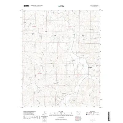
2020 Map of Kingston
USGS Topo · Published 2020About this map
Kings River meanders through the central Ozark landscape of Madison County, providing a primary drainage for the surrounding highlands. The settlement of Kingston sits at the junction of several drainage systems, including Sweden Creek and Maxwell Creek, serving as a focal point for the region's rural road network. Local history and genealogy are well-represented by numerous family and community burial grounds, such as Parker-Boydston Cemetery, Loy Cemetery, and the Upper Campground Cemetery.
Find a feature on this map
67 named features on this map. Tap any name to fly to it.
Don’t see what you’re looking for? This feature index may not catch every label — zoom into the map to look around manually.
Map Details
Editions of this 2020 Kingston Map
This is the sole edition of this map. No revisions or reprints were ever made.
Other maps of this area

1900 · Eureka Springs
USGS Topo · 1:125,000

1901 · Eureka Springs
USGS Topo · 1:125,000

1904 · Harrison
USGS Topo · 1:125,000

1905 · Harrison
USGS Topo · 1:125,000

1945 · Harrison
USGS Topo · 1:250,000

1949 · Harrison
USGS Topo · 1:250,000

1954 · Harrison
USGS Topo · 1:250,000

1956 · Russellville
USGS Topo · 1:250,000

1958 · Harrison
USGS Topo · 1:250,000

1964 · Russellville
USGS Topo · 1:250,000