Loading...
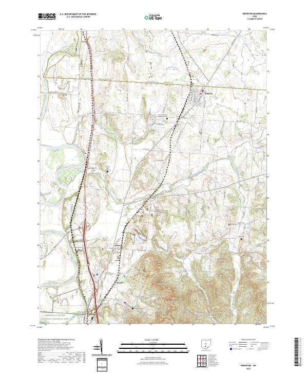
Loading map...2023 Map of Kingston
USGS Topo · Published 2023About this map
The Hopewell Culture National Historical Park anchors the southern portion of this landscape, preserving the earthworks of an ancient civilization near the banks of the Scioto River. The terrain transitions from the river's fertile floodplain to the higher elevations of Sand Hill and Sugarloaf in the southeast. This geography heavily influenced the layout of early settlements and agricultural lands, with the community of Kingston established at a key junction near the county line.
Find a feature on this map
90 named features on this map. Tap any name to fly to it.
Don’t see what you’re looking for? This feature index may not catch every label — zoom into the map to look around manually.
Map Details
Date Portrayed2023
Date Published2023
PublisherU.S. Geological Survey
Map TypeTopographic
Scale1:24000
Physical Dimensions24 x 29 inches
Editions of this 2023 Kingston Map
This is the sole edition of this map. No revisions or reprints were ever made.
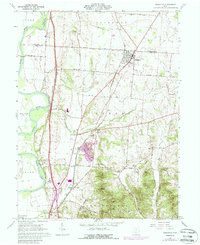
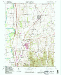
Historical Maps of Kinnikinnick Through Time
Featured Locations
Source Details
SourceU.S. Geological Survey
CopyrightPublic Domain