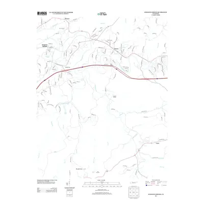
2013 Map of Kingston Springs
USGS Topo · Published 2013About this map
The Harpeth River carves a winding path through this portion of Cheatham and Davidson Counties, defining the geographic character of Kingston Springs and Pegram. In the early 21st century, these communities maintained a balance between residential development and large rural tracts, such as Black Friar Farm in the north and Camp Marymount near Lever Lake. The terrain is marked by significant topographical shifts, including Buffalo Gap and Bell Hollow, which dictate the corridors for local roads and the Interstate 40 passage.
Find a feature on this map
139 named features on this map. Tap any name to fly to it.
Don’t see what you’re looking for? This feature index may not catch every label — zoom into the map to look around manually.
Map Details
Editions of this 2013 Kingston Springs Map
This is the sole edition of this map. No revisions or reprints were ever made.
Other maps of this area

1901 · Colombia
USGS Topo · 1:125,000

1903 · Nashville
USGS Topo · 1:125,000

1909 · Franklin
USGS Topo · 1:62,500

1930 · White Bluff
USGS Topo · 1:62,500

1932 · Nashville
USGS Topo · 1:62,500

1933 · White Bluff
USGS Topo · 1:62,500

1936 · Craigfield
USGS Topo · 1:24,000

1946 · Leipers Fork
USGS Topo · 1:24,000

1949 · Leipers Fork
USGS Topo · 1:24,000

1951 · Fairview
USGS Topo · 1:24,000