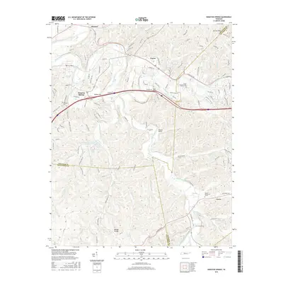
2016 Map of Kingston Springs
USGS Topo · Published 2016About this map
Kingston Springs and Pegram anchor the northern corridor of this landscape, where the Harpeth River carves a winding path through the ridges of Middle Tennessee. The area is defined by its complex hydrology, with numerous tributaries like Newsom Br and Hannah Br feeding into the main river channel. To the south, the South Harpeth River dictates the settlement patterns around Linton, while various smaller bodies of water such as Price Lake and Lever Lake dot the interior.
Find a feature on this map
115 named features on this map. Tap any name to fly to it.
Don’t see what you’re looking for? This feature index may not catch every label — zoom into the map to look around manually.
Map Details
Editions of this 2016 Kingston Springs Map
This is the sole edition of this map. No revisions or reprints were ever made.
Other maps of this area

1901 · Colombia
USGS Topo · 1:125,000

1903 · Nashville
USGS Topo · 1:125,000

1909 · Franklin
USGS Topo · 1:62,500

1930 · White Bluff
USGS Topo · 1:62,500

1932 · Nashville
USGS Topo · 1:62,500

1933 · White Bluff
USGS Topo · 1:62,500

1936 · Craigfield
USGS Topo · 1:24,000

1946 · Leipers Fork
USGS Topo · 1:24,000

1949 · Leipers Fork
USGS Topo · 1:24,000

1951 · Fairview
USGS Topo · 1:24,000