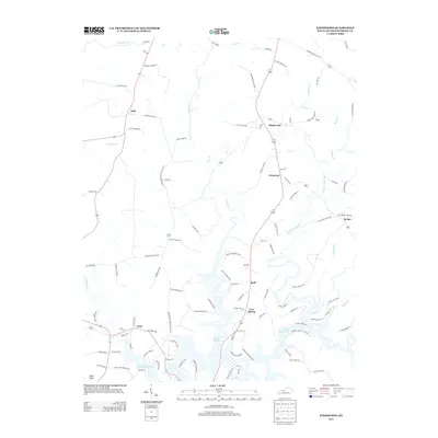
2013 Map of Kingswood
USGS Topo · Published 2013About this map
Rough River Lake dominates the southern landscape of this Breckinridge County region, where the winding waterway creates a complex shoreline of inlets and points. The area is defined by a network of rural settlements connected by a web of local roads named for established local families, such as Jack Monarch Rd, Bobby Joe Brown, and Leo Bowles RD. These family-named corridors reflect the generational homesteading patterns typical of central Kentucky.
Find a feature on this map
102 named features on this map. Tap any name to fly to it.
Don’t see what you’re looking for? This feature index may not catch every label — zoom into the map to look around manually.
Map Details
Editions of this 2013 Kingswood Map
This is the sole edition of this map. No revisions or reprints were ever made.
Other maps of this area

1928 · Hardinsburg
USGS Topo · 1:48,000

1931 · Hardinsburg
USGS Topo · 1:62,500

1932 · Fordsville
USGS Topo · 1:62,500

1934 · Cannelton
USGS Topo · 1:62,500

1947 · Hardinsburg
USGS Topo · 1:24,000

1947 · Garfield
USGS Topo · 1:24,000

1947 · Hardinsburg
USGS Topo · 1:62,500

1953 · Custer
USGS Topo · 1:24,000

1953 · Mc Daniels
USGS Topo · 1:24,000

1953 · Hardinsburg
USGS Topo · 1:24,000