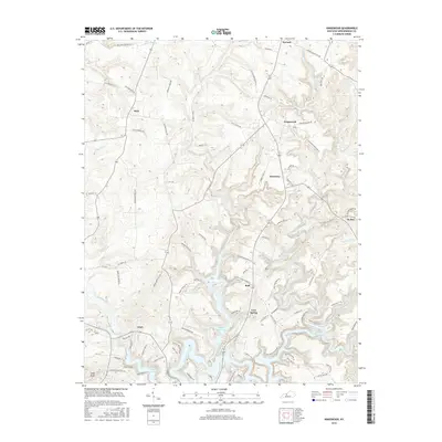
2016 Map of Kingswood
USGS Topo · Published 2016About this map
Rough River Lake dominates the southern landscape of this Breckinridge County study, where fingers of water reach into the winding valleys of the N Fork Rough River and White Oak Cr. The area is characterized by a dense network of local roads bearing the names of established families, such as Jack Monarch Rd, Joe Mattingly Rd, and Richard Moore Rd, highlighting the deeply rooted rural community structure.
Find a feature on this map
93 named features on this map. Tap any name to fly to it.
Don’t see what you’re looking for? This feature index may not catch every label — zoom into the map to look around manually.
Map Details
Editions of this 2016 Kingswood Map
This is the sole edition of this map. No revisions or reprints were ever made.
Other maps of this area

1928 · Hardinsburg
USGS Topo · 1:48,000

1931 · Hardinsburg
USGS Topo · 1:62,500

1932 · Fordsville
USGS Topo · 1:62,500

1934 · Cannelton
USGS Topo · 1:62,500

1947 · Hardinsburg
USGS Topo · 1:24,000

1947 · Garfield
USGS Topo · 1:24,000

1947 · Hardinsburg
USGS Topo · 1:62,500

1953 · Custer
USGS Topo · 1:24,000

1953 · Mc Daniels
USGS Topo · 1:24,000

1953 · Hardinsburg
USGS Topo · 1:24,000