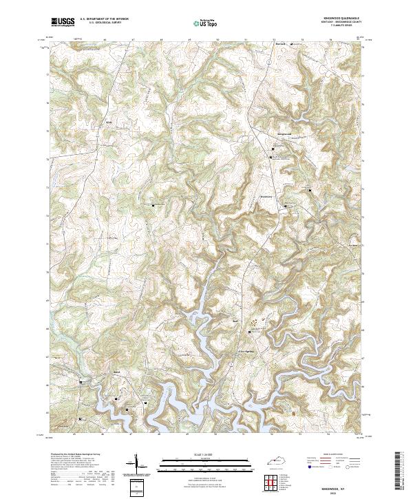
2022 Map of Kingswood
USGS Topo · Published 2022About this map
The North Fork Rough River winds through the southern reaches of this landscape, its path defining a series of fingers and peninsulas that characterize the topography near Axtel. This survey of the Breckinridge County countryside reveals a pattern of dispersed rural communities and family-named landmarks, such as Sand Knob and the settlement of Kingswood. The area is notably dense with cemetery sites and country churches, including the Saint Anthony Catholic Church Cem and Mount Zion United Methodist Church Cem, which serve as vital markers for local genealogists and historians tracing nineteenth- and twentieth-century family lineages.
Find a feature on this map
123 named features on this map. Tap any name to fly to it.
Don’t see what you’re looking for? This feature index may not catch every label — zoom into the map to look around manually.
Map Details
Editions of this 2022 Kingswood Map
This is the sole edition of this map. No revisions or reprints were ever made.
Other maps of this area

1928 · Hardinsburg
USGS Topo · 1:48,000

1931 · Hardinsburg
USGS Topo · 1:62,500

1932 · Fordsville
USGS Topo · 1:62,500

1934 · Cannelton
USGS Topo · 1:62,500

1947 · Hardinsburg
USGS Topo · 1:24,000

1947 · Garfield
USGS Topo · 1:24,000

1947 · Hardinsburg
USGS Topo · 1:62,500

1953 · Custer
USGS Topo · 1:24,000

1953 · Mc Daniels
USGS Topo · 1:24,000

1953 · Hardinsburg
USGS Topo · 1:24,000