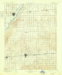
1894 Map of Kinsley
USGS Topo · Published 1932About this map
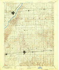
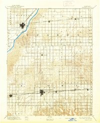
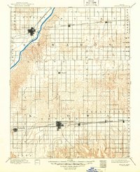
Arkansas River waters and the expanding iron rails defined the late-nineteenth-century development of Edwards and Kiowa counties. The central plains landscape shown here is heavily influenced by three major transport corridors: the Atchison Topeka and Santa Fe Railroad serving the northern towns, and the parallel tracks of the Chicago Kansas and Western Railroad and Wichita and Western Railroad connecting the southern settlements. While Kinsley stands as a primary hub along the river, Greensburg emerges as a significant grid-mapped center to the south. Between these hubs, smaller communities like Lewis, Haviland, and Mullinville mark the agricultural landscape, often situated near the meandering path of Rattlesnake Creek. The transition from the river valley to the sand-hill topography is clearly visible, illustrating the environmental constraints that dictated early Kansas settlement patterns and township boundaries.
Find a feature on this map
30 named features on this map. Tap any name to fly to it.
Don’t see what you’re looking for? This feature index may not catch every label — zoom into the map to look around manually.
Map Details
Editions of this 1894 Kinsley Map
8 editions found

Other maps of this area

1889 · Larned
USGS Topo · 1:125,000

1889 · Kinsley
USGS Topo · 1:125,000

1891 · Great Bend
USGS Topo · 1:125,000

1891 · Medicine Lodge
USGS Topo · 1:125,000

1891 · Larned
USGS Topo · 1:125,000

1892 · Ness
USGS Topo · 1:125,000

1892 · Kinsley
USGS Topo · 1:125,000

1892 · Spearville
USGS Topo · 1:125,000

1892 · Coldwater
USGS Topo · 1:125,000

1892 · Pratt
USGS Topo · 1:125,000