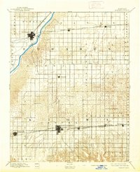
1894 Map of Kinsley
USGS Topo · Published 1939About this map
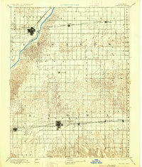
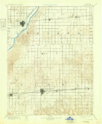
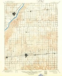
The Arkansas River cuts across the northwest corner of this late 19th-century landscape, providing a vital water source in a region defined by its emerging rail network. Two major corridors dominate the settlement patterns shown here: the Atchison Topeka and Santa Fe Railroad serving Kinsley and Lewis, and a southern line shared by the Chicago Wichita and Western Railroad and the Nebraska and Kansas Railroad. This southern route connects key agricultural hubs including Greensburg, Mullinville, and Haviland. Beyond the river and rail lines, the terrain is shaped by the winding course of Rattlesnake Creek. The map documents the early township divisions and small rail-stop communities like Belpre and Wellsford as they appeared just decades after the region was first surveyed, capturing the transition from open prairie to a structured landscape of transit and trade.
Find a feature on this map
34 named features on this map. Tap any name to fly to it.
Don’t see what you’re looking for? This feature index may not catch every label — zoom into the map to look around manually.
Map Details
Editions of this 1894 Kinsley Map
8 editions found

Other maps of this area

1889 · Larned
USGS Topo · 1:125,000

1889 · Kinsley
USGS Topo · 1:125,000

1891 · Great Bend
USGS Topo · 1:125,000

1891 · Medicine Lodge
USGS Topo · 1:125,000

1891 · Larned
USGS Topo · 1:125,000

1892 · Ness
USGS Topo · 1:125,000

1892 · Kinsley
USGS Topo · 1:125,000

1892 · Spearville
USGS Topo · 1:125,000

1892 · Coldwater
USGS Topo · 1:125,000

1892 · Pratt
USGS Topo · 1:125,000