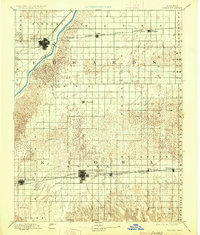
1894 Map of Kinsley
USGS Topo · Published 1925About this map
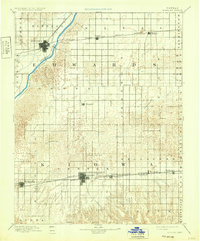
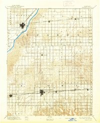
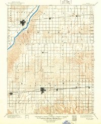
The Arkansas River cuts across the northwest corner of this late-nineteenth-century survey, anchoring the development of Kinsley as a regional hub. To the south and east, the landscape transitions into the distinctive drainage of Rattlesnake Creek, which meanders through a series of townships including Franklin and Brown. This reconnaissance work by Wm. H. Herron and R.M. Towson illustrates a critical period of western Kansas expansion, where the grid of early townships was defined by the arrival of competing rail lines. The Atchison Topeka and Santa Fe Railroad parallels the river, while the southern portion of the territory is connected by the Wichita and Western Railroad, which links the growing prairie towns of Mullinville, Greensburg, and Haviland. The map documents early-stage settlements like Wendell and Fellsburg before the full maturity of the local road networks.
Find a feature on this map
31 named features on this map. Tap any name to fly to it.
Don’t see what you’re looking for? This feature index may not catch every label — zoom into the map to look around manually.
Map Details
Editions of this 1894 Kinsley Map
8 editions found

Other maps of this area

1889 · Larned
USGS Topo · 1:125,000

1889 · Kinsley
USGS Topo · 1:125,000

1891 · Great Bend
USGS Topo · 1:125,000

1891 · Medicine Lodge
USGS Topo · 1:125,000

1891 · Larned
USGS Topo · 1:125,000

1892 · Ness
USGS Topo · 1:125,000

1892 · Kinsley
USGS Topo · 1:125,000

1892 · Spearville
USGS Topo · 1:125,000

1892 · Coldwater
USGS Topo · 1:125,000

1892 · Pratt
USGS Topo · 1:125,000