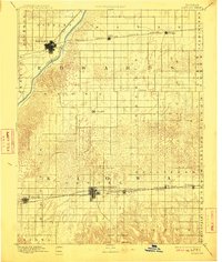
1894 Map of Kinsley
USGS Topo · Published 1911About this map
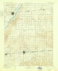
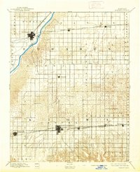
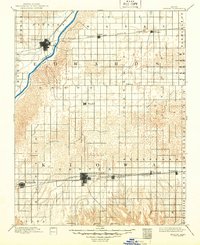
Kinsley and Greensburg serve as the primary hubs on this late 19th-century survey of southwestern Kansas. The landscape is defined by the sweeping arc of the Arkansas River in the northwest and the intricate drainage of Rattlesnake Creek as it meanders through the central plains. Transportation is the dominant structural element, with the Atchison Topeka and Santa Fe Railroad cutting across the northern portion of the map, while the Chicago Kansas and Nebraska Railroad and the Wichita and Western Railroad parallel one another through the south. This network of rails and waterways supported a series of small, burgeoning agricultural settlements like Mullenville, Haviland, and Belpre, many of which were established as vital shipping points for the surrounding prairie homesteads. The map illustrates the early township divisions, such as Trenton and Clear Creek, during a period of significant western expansion.
Find a feature on this map
31 named features on this map. Tap any name to fly to it.
Don’t see what you’re looking for? This feature index may not catch every label — zoom into the map to look around manually.
Map Details
Editions of this 1894 Kinsley Map
8 editions found

Other maps of this area

1889 · Larned
USGS Topo · 1:125,000

1889 · Kinsley
USGS Topo · 1:125,000

1891 · Great Bend
USGS Topo · 1:125,000

1891 · Medicine Lodge
USGS Topo · 1:125,000

1891 · Larned
USGS Topo · 1:125,000

1892 · Ness
USGS Topo · 1:125,000

1892 · Kinsley
USGS Topo · 1:125,000

1892 · Spearville
USGS Topo · 1:125,000

1892 · Coldwater
USGS Topo · 1:125,000

1892 · Pratt
USGS Topo · 1:125,000