
1947 Map of Kinsley
USGS Topo · Published 1981About this map
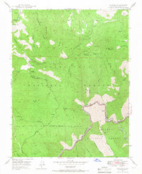
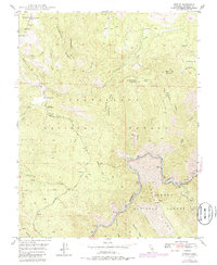
McCauley Ranch (Old Stage Station) and other small family outposts dot this landscape within the Stanislaus National Forest, representing the vestiges of early transit through the Mariposa region. The topography is dominated by massive landforms like Montgomery Ridge and Big Grizzly Mountain, which drop sharply toward the canyon of the Merced River. This waterway serves as the southern boundary for the forest, where a Geological Exhibit and the Ferguson Dump mark points of human activity along the river's edge.
Find a feature on this map
55 named features on this map. Tap any name to fly to it.
Don’t see what you’re looking for? This feature index may not catch every label — zoom into the map to look around manually.
Map Details
Editions of this 1947 Kinsley Map
3 editions found
Other maps of this area

1893 · Sonora
USGS Topo · 1:125,000

1896 · Sonora
USGS Topo · 1:125,000

1897 · Sonora
USGS Topo · 1:125,000

1897 · Yosemite
USGS Topo · 1:125,000

1898 · Sonora
USGS Topo · 1:125,000

1900 · Yosemite
USGS Topo · 1:125,000

1903 · Yosemite
USGS Topo · 1:125,000

1909 · Yosemite
USGS Topo · 1:125,000

1947 · El Portal
USGS Topo · 1:24,000

1947 · San Jose
USGS Topo · 1:250,000