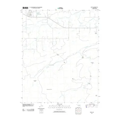
2010 Map of Kinta
USGS Topo · Published 2010About this map
The town of Kinta serves as the primary hub in this corner of Haskell County, where the plains meet the rising elevations of the Sans Bois Mountains. This area is defined by a series of significant hollows and ridges, including Blue Mountain and Hulsey Mountain, which channel numerous waterways toward the north. Drainage is dominated by Sans Bois Creek and Beaver Creek, with the managed waters of Kinta Lake and the Kinta Lake Dam situated just east of the main settlement.
Find a feature on this map
36 named features on this map. Tap any name to fly to it.
Don’t see what you’re looking for? This feature index may not catch every label — zoom into the map to look around manually.
Map Details
Editions of this 2010 Kinta Map
This is the sole edition of this map. No revisions or reprints were ever made.
Other maps of this area

1900 · Sansbois
USGS Topo · 1:125,000

1901 · Tuskahoma
USGS Topo · 1:125,000

1908 · Tuskahoma
USGS Topo · 1:125,000

1909 · Tuskahoma
USGS Topo · 1:125,000

1909 · Sans Bois
USGS Topo · 1:125,000

1911 · Sansbois
USGS Topo · 1:125,000

1940 · Red Oak
USGS Topo · 1:62,500

1943 · Red Oak
USGS Topo · 1:62,500

1946 · Fort Smith
USGS Topo · 1:250,000

1950 · Mcalester
USGS Topo · 1:250,000