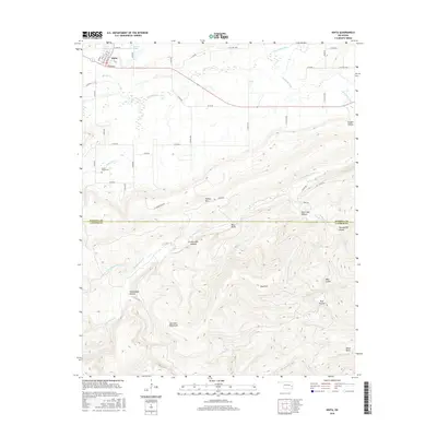
2016 Map of Kinta
USGS Topo · Published 2016About this map
The town of Kinta serves as the northern anchor for this landscape where the undulating plains meet the sharp relief of the Sans Bois Mountains. This area of Haskell and Latimer counties is defined by a dense network of high ridges and deeply cut ravines, including the distinctively named Smokestack Hollow, Grassy Lake Hollow, and Twentynine Hollow. Local history is rooted along the grid of the town center, where Broadway and Main St intersect, and at the Shady Grove Cem situated to the southwest.
Find a feature on this map
56 named features on this map. Tap any name to fly to it.
Don’t see what you’re looking for? This feature index may not catch every label — zoom into the map to look around manually.
Map Details
Editions of this 2016 Kinta Map
This is the sole edition of this map. No revisions or reprints were ever made.
Other maps of this area

1900 · Sansbois
USGS Topo · 1:125,000

1901 · Tuskahoma
USGS Topo · 1:125,000

1908 · Tuskahoma
USGS Topo · 1:125,000

1909 · Tuskahoma
USGS Topo · 1:125,000

1909 · Sans Bois
USGS Topo · 1:125,000

1911 · Sansbois
USGS Topo · 1:125,000

1940 · Red Oak
USGS Topo · 1:62,500

1943 · Red Oak
USGS Topo · 1:62,500

1946 · Fort Smith
USGS Topo · 1:250,000

1950 · Mcalester
USGS Topo · 1:250,000