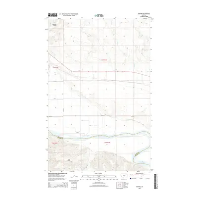
2014 Map of Kintyre
USGS Topo · Published 2014About this map
The Missouri River serves as the dominant geographical boundary in this part of northeastern Montana, separating Valley Co and McCone Co. The landscape is characterized by its drainage patterns, notably the Milk River Coulee and the deep incisions of Charley Cr and Kintyre Cr as they flow toward the river valley. The settlement of Kintyre is positioned along the northern plains above the river breaks, where the local road network, including Tihista Rd and Point Rd, transitions into the primary arterial Us-2.
Find a feature on this map
22 named features on this map. Tap any name to fly to it.
Don’t see what you’re looking for? This feature index may not catch every label — zoom into the map to look around manually.
Map Details
Editions of this 2014 Kintyre Map
This is the sole edition of this map. No revisions or reprints were ever made.
Other maps of this area

1914 · Nashua
USGS Topo · 1:62,500

1915 · Frazer
USGS Topo · 1:62,500

1916 · Nashua
USGS Topo · 1:62,500

1954 · Jordan
USGS Topo · 1:250,000

1954 · Glasgow
USGS Topo · 1:250,000

1956 · Jordan
USGS Topo · 1:250,000

1957 · Glasgow
USGS Topo · 1:250,000

1958 · Glasgow
USGS Topo · 1:250,000

1958 · Jordan
USGS Topo · 1:250,000

1964 · Jordan
USGS Topo · 1:250,000