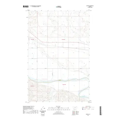
2020 Map of Kintyre
USGS Topo · Published 2020About this map
The Missouri River serves as the primary geographic dividing line in this portion of Montana, separating the northern plains from the broken coulees to the south. In the northern sections, the landscape is defined by the drainage systems of Kintyre Cr and Charley Cr, which feed into the river from the high ground near the settlement of Kintyre. This area, part of the Frazer District, exhibits a transition between the open agricultural lands accessed by Indian Hwy and the more complex terrain found south of the river. To the south, Sarge Coulee and Lost Cr carve through the land, showing a distinct shift in the physical geography of the region. The map also documents the infrastructure of the area, including Bia Rte 1 and other local routes such as Black Walnut Rd and Point Rd, which connect the disparate landscape features across the Valley and McCone county boundary.
Find a feature on this map
19 named features on this map. Tap any name to fly to it.
Don’t see what you’re looking for? This feature index may not catch every label — zoom into the map to look around manually.
Map Details
Editions of this 2020 Kintyre Map
This is the sole edition of this map. No revisions or reprints were ever made.
Other maps of this area

1914 · Nashua
USGS Topo · 1:62,500

1915 · Frazer
USGS Topo · 1:62,500

1916 · Nashua
USGS Topo · 1:62,500

1954 · Jordan
USGS Topo · 1:250,000

1954 · Glasgow
USGS Topo · 1:250,000

1956 · Jordan
USGS Topo · 1:250,000

1957 · Glasgow
USGS Topo · 1:250,000

1958 · Glasgow
USGS Topo · 1:250,000

1958 · Jordan
USGS Topo · 1:250,000

1964 · Jordan
USGS Topo · 1:250,000