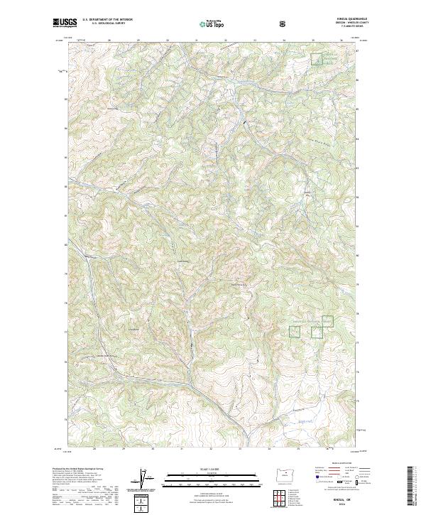
2024 Map of Kinzua
USGS Topo · Published 2024About this map
Kinzua Mtn dominates the northern reaches of this Wheeler County terrain, marking a landscape defined by deep drainages and sharp ridges within the Umatilla National Forest. The map detail reveals an intricate network of seasonal water sources and named canyons, such as Gun Club Canyon and Powder House Canyon, which highlight the area's history of local navigation and resource use. Transport and passage through the high country are dictated by natural breaks like Dead Horse Gap and Butte Creek Summit, providing a look at how early routes were forged through the mountainous interior.
Find a feature on this map
46 named features on this map. Tap any name to fly to it.
Don’t see what you’re looking for? This feature index may not catch every label — zoom into the map to look around manually.
Map Details
Editions of this 2024 Kinzua Map
This is the sole edition of this map. No revisions or reprints were ever made.
Other maps of this area

1916 · Condon
USGS Topo · 1:125,000

1926 · Mitchell
USGS Topo · 1:125,000

1953 · Spray
USGS Topo · 1:62,500

1953 · Pendleton
USGS Topo · 1:250,000

1953 · The Dalles
USGS Topo · 1:250,000

1955 · Bend
USGS Topo · 1:250,000

1955 · Canyon City
USGS Topo · 1:250,000

1956 · The Dalles
USGS Topo · 1:250,000

1956 · Pendleton
USGS Topo · 1:250,000

1957 · Bend
USGS Topo · 1:250,000