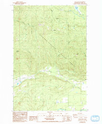
1987 Map of Kiona Peak
USGS Topo · Published 1993About this map
The Gifford Pinchot National Forest dominates this 1980s landscape, where high peaks like Kiona Peak and Johnson Mountain overlook a complex network of timber and mountain drainages. Along the lower elevations, the Cowlitz River flows through the southern reaches of the quadrangle, while the East Fork Tilton River and Rainey Creek carve out steep valleys to the north and west.
Find a feature on this map
21 named features on this map. Tap any name to fly to it.
Don’t see what you’re looking for? This feature index may not catch every label — zoom into the map to look around manually.
Map Details
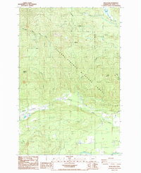
Editions of this 1987 Kiona Peak Map
2 editions found
Other maps of this area

1919 · Mount St Helens
USGS Topo · 1:125,000

1924 · Mt Rainier
USGS Topo · 1:96,000

1926 · Steamboat Mtn
USGS Topo · 1:125,000

1928 · Mt Rainier
USGS Topo · 1:125,000

1931 · Steamboat Mtn
USGS Topo · 1:125,000

1937 · Eatonville
USGS Topo · 1:125,000

1950 · Yakima
USGS Topo · 1:250,000

1953 · Hoquiam
USGS Topo · 1:250,000

1956 · Mineral
USGS Topo · 1:62,500

1957 · Hoquiam
USGS Topo · 1:250,000