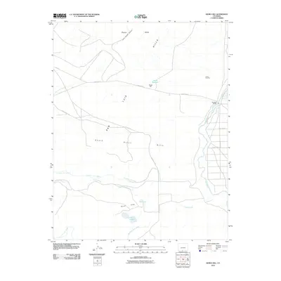
2010 Map of Kiowa Hill
USGS Topo · Published 2010About this map
The Rio Grande defines the eastern boundary of this high-elevation landscape, where irrigation infrastructure dominates the lower elevations. Systems like Taos Valley Ditch Number 1, Taos Valley Ditch Number 2, and Braiden Ditch Number 2 suggest a history of managed water rights critical for local agriculture in the San Luis region. These man-made channels contrast with the dry, winding course of Punche Arroyo and the scattered water bodies of Apache Reservoir, Park Lake, and Twin Lakes.
Find a feature on this map
25 named features on this map. Tap any name to fly to it.
Don’t see what you’re looking for? This feature index may not catch every label — zoom into the map to look around manually.
Map Details
Editions of this 2010 Kiowa Hill Map
This is the sole edition of this map. No revisions or reprints were ever made.
Other maps of this area

1954 · Raton
USGS Topo · 1:250,000

1954 · Trinidad
USGS Topo · 1:250,000

1955 · Trinidad
USGS Topo · 1:250,000

1958 · Raton
USGS Topo · 1:250,000

1958 · Trinidad
USGS Topo · 1:250,000

1959 · Trinidad
USGS Topo · 1:250,000

1963 · Pinabetoso Peaks
USGS Topo · 1:24,000

1963 · Ute Mountain
USGS Topo · 1:24,000
1963 · La Segita Peaks NE
USGS Topo · 1:24,000

1967 · Manassa NE
USGS Topo · 1:24,000