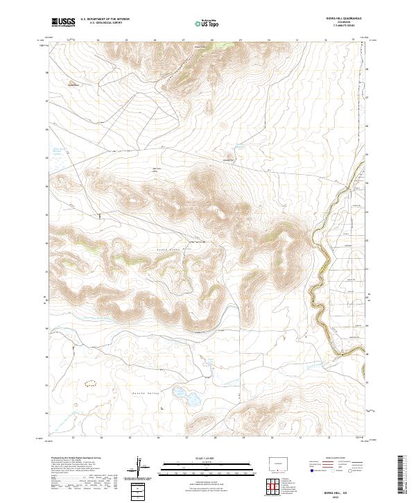
2022 Map of Kiowa Hill
USGS Topo · Published 2022About this map
The Rio Grande winds through a landscape defined by the high-elevation terrain of the San Luis Hills and the Punche Valley on this recent 2022 survey. Human intervention in this arid region is clearly marked by the presence of early-era water management infrastructure, specifically the Taos Valley Ditch Number 2 and Taos Valley Ditch Number 1. These irrigation channels are critical components of the regional hydrology, serving to divert water across the plains to support local agriculture.
Find a feature on this map
32 named features on this map. Tap any name to fly to it.
Don’t see what you’re looking for? This feature index may not catch every label — zoom into the map to look around manually.
Map Details
Editions of this 2022 Kiowa Hill Map
This is the sole edition of this map. No revisions or reprints were ever made.
Other maps of this area

1954 · Raton
USGS Topo · 1:250,000

1954 · Trinidad
USGS Topo · 1:250,000

1955 · Trinidad
USGS Topo · 1:250,000

1958 · Raton
USGS Topo · 1:250,000

1958 · Trinidad
USGS Topo · 1:250,000

1959 · Trinidad
USGS Topo · 1:250,000

1963 · Pinabetoso Peaks
USGS Topo · 1:24,000

1963 · Ute Mountain
USGS Topo · 1:24,000
1963 · La Segita Peaks NE
USGS Topo · 1:24,000

1967 · Manassa NE
USGS Topo · 1:24,000