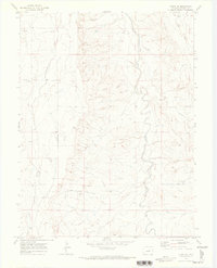
1970 Map of Kiowa NE
USGS Topo · Published 1973About this map
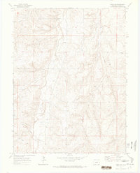
West Bijou Creek and Comanche Creek carve distinct paths through the high plains of Elbert County on this 1970s survey. The landscape is primarily defined by these drainage systems, showing the intricate network of gulches and draws, such as East Gulch, that feed the larger watercourses. Human impact on the terrain is focused on utility and resource extraction, evidenced by a Radio Facility in the western portion of the quadrangle and a scattered Well and Gravel Pit near the creek beds. The map provides a detailed view of the section lines and township boundaries, including the division between R. 62 W. and R. 61 W., which remains a critical reference for local land ownership and genealogical research in this part of Colorado.
Find a feature on this map
7 named features on this map. Tap any name to fly to it.
Don’t see what you’re looking for? This feature index may not catch every label — zoom into the map to look around manually.
Map Details
Editions of this 1970 Kiowa NE Map
This is the sole edition of this map. No revisions or reprints were ever made.
Other maps of this area

1953 · Denver
USGS Topo · 1:250,000

1957 · Denver
USGS Topo · 1:250,000

1958 · Denver
USGS Topo · 1:250,000

1960 · Denver
USGS Topo · 1:250,000
1961 · Strasburg SW
USGS Topo · 1:24,000
1969 · Strasburg SE
USGS Topo · 1:24,000
1969 · Byers SW
USGS Topo · 1:24,000

1970 · Big Gulch
USGS Topo · 1:24,000
1970 · Kiowa NW
USGS Topo · 1:24,000
1970 · Bijou SW
USGS Topo · 1:24,000