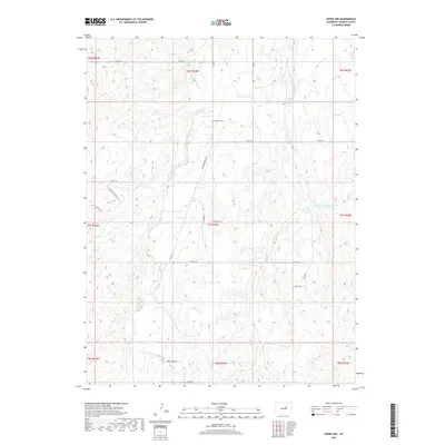
2019 Map of Kiowa NW
USGS Topo · Published 2019About this map
Ebenezer Cem sits on the high ground between the drainage systems of Kiowa Cr and Wolf Cr in this portion of Elbert County. The landscape is defined by the dendritic patterns of seasonal waterways and erosion control efforts, such as the R-Johnson Erosion Control Reservoir Number 1, which reflect the region's management of prairie runoff. Rural life is organized around a grid of county roads, including the prominent Kiowa Bennett Rd and Co RD 166. In the southern reaches, the terrain shifts into the more distinct topography of Copper Canyon, while residential clusters like those along Buffalo Run Cir and Sky View indicate modern settlement patterns alongside established ranching corridors.
Find a feature on this map
30 named features on this map. Tap any name to fly to it.
Don’t see what you’re looking for? This feature index may not catch every label — zoom into the map to look around manually.
Map Details
Editions of this 2019 Kiowa NW Map
This is the sole edition of this map. No revisions or reprints were ever made.
Other maps of this area

1890 · East Denver
USGS Topo · 1:125,000

1894 · Castle Rock
USGS Topo · 1:125,000

1913 · Castle Rock
USGS Topo · 1:125,000

1939 · Elizabeth
USGS Topo · 1:62,500

1945 · Elizabeth
USGS Topo · 1:62,500

1953 · Denver
USGS Topo · 1:250,000

1955 · Watkins SE
USGS Topo · 1:24,000

1957 · Denver
USGS Topo · 1:250,000

1958 · Denver
USGS Topo · 1:250,000

1960 · Denver
USGS Topo · 1:250,000