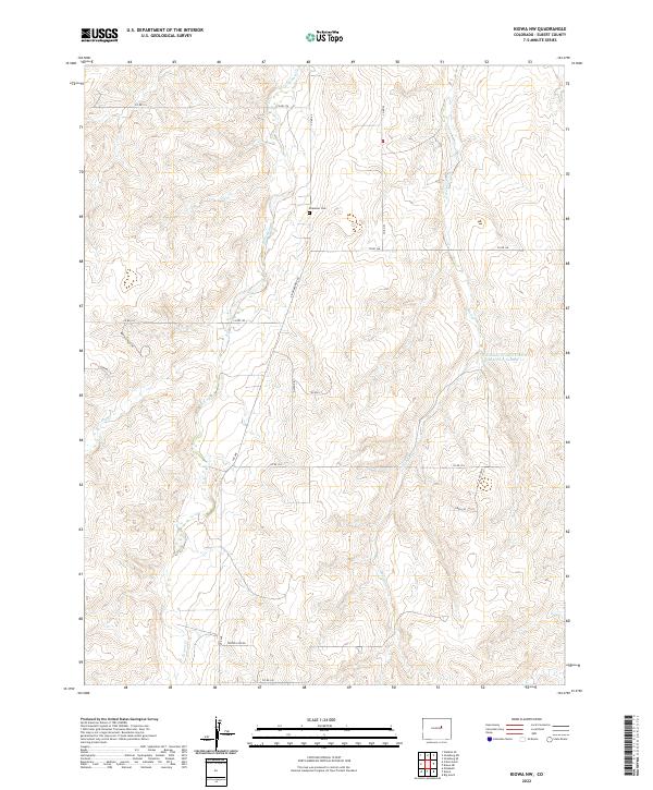
2022 Map of Kiowa NW
USGS Topo · Published 2022About this map
Kiowa Cr and Wolf Cr drain this northern Elbert County landscape, where the high plains meet deep-cut drainages like Copper Canyon. The area is characterized by a sparse network of county roads and large agricultural parcels, reflecting the enduring ranching and farming traditions of the region. Ebenezer Cem stands as a quiet marker of the early local community, situated north of Kiowa Bennett Rd. Water management is central to this environment, evidenced by the R Johnson Erosion Control Reservoir Number 1 and various unnamed stock ponds. While much of the land remains open, newer rural residential developments are visible along the western edge with names like Buffalo Run Cir and Country Cir.
Find a feature on this map
30 named features on this map. Tap any name to fly to it.
Don’t see what you’re looking for? This feature index may not catch every label — zoom into the map to look around manually.
Map Details
Editions of this 2022 Kiowa NW Map
This is the sole edition of this map. No revisions or reprints were ever made.
Other maps of this area

1890 · East Denver
USGS Topo · 1:125,000

1894 · Castle Rock
USGS Topo · 1:125,000

1913 · Castle Rock
USGS Topo · 1:125,000

1939 · Elizabeth
USGS Topo · 1:62,500

1945 · Elizabeth
USGS Topo · 1:62,500

1953 · Denver
USGS Topo · 1:250,000

1955 · Watkins SE
USGS Topo · 1:24,000

1957 · Denver
USGS Topo · 1:250,000

1958 · Denver
USGS Topo · 1:250,000

1960 · Denver
USGS Topo · 1:250,000