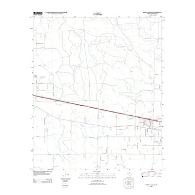
2012 Map of Kirby Lake NE
USGS Topo · Published 2012About this map
The energy-rich landscape of west-central Texas is prominently defined here by its petroleum infrastructure and rural drainage systems. The Elmdale Oil Field, Saint Patrick Oil Field, and Three Aces Oil Field highlight the vital oil production central to Callahan County's economy. These fields are situated within a terrain carved by Buck Cr and Deadman Cr, which wind through a grid of county roads and ranch lands. To the west, the Abilene Executive Airpark anchors the regional transportation network, while a developing residential street pattern is visible near New Haven St. The map illustrates the transition from high-density oil production to a network of established family ranches and rural homesteads connected by routes such as Rainey Creek Ranch Rd.
Find a feature on this map
89 named features on this map. Tap any name to fly to it.
Don’t see what you’re looking for? This feature index may not catch every label — zoom into the map to look around manually.
Map Details
Editions of this 2012 Kirby Lake NE Map
This is the sole edition of this map. No revisions or reprints were ever made.
Other maps of this area

1890 · Abilene
USGS Topo · 1:125,000

1891 · Anson
USGS Topo · 1:125,000

1892 · Abilene
USGS Topo · 1:125,000

1892 · Albany
USGS Topo · 1:125,000

1893 · Albany
USGS Topo · 1:125,000

1893 · Anson
USGS Topo · 1:125,000

1931 · Baird
USGS Topo · 1:125,000

1932 · Baird
USGS Topo · 1:125,000

1954 · Abilene
USGS Topo · 1:250,000

1957 · Kirby Lake
USGS Topo · 1:62,500