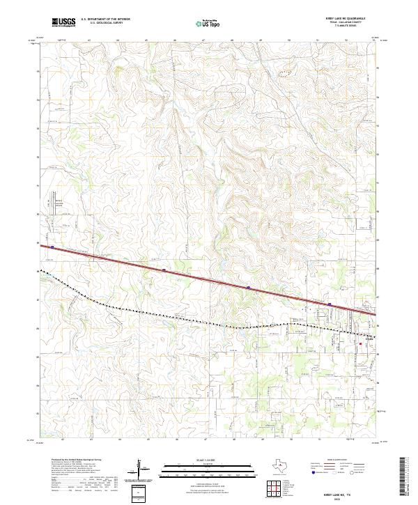
2022 Map of Kirby Lake NE
USGS Topo · Published 2022About this map
Clyde sits at the eastern edge of this Callahan County terrain, where the westward expansion of local infrastructure meets the drainage basins of Deadman Cr and Buck Cr. The landscape is defined by the intersection of high-speed transportation and ranching life, with I- 20 W and its associated E Interstate 20 Access Rd cutting a straight line across the rolling prairie. In the northwestern corner, the Abilene Executive Airpark serves as a modern waypoint, marking the periphery of the larger regional hub nearby. To the west, Hehninger Lake provides a localized water source amidst a network of rural routes like Rainey Creek Ranch Rd. The map illustrates a typical West Texas transition where residential streets in Clyde give way to an extensive grid of county roads, including Co RD 108 and Co RD 116, which connect scattered homesteads and ranching operations.
Find a feature on this map
82 named features on this map. Tap any name to fly to it.
Don’t see what you’re looking for? This feature index may not catch every label — zoom into the map to look around manually.
Map Details
Editions of this 2022 Kirby Lake NE Map
This is the sole edition of this map. No revisions or reprints were ever made.
Other maps of this area

1890 · Abilene
USGS Topo · 1:125,000

1891 · Anson
USGS Topo · 1:125,000

1892 · Abilene
USGS Topo · 1:125,000

1892 · Albany
USGS Topo · 1:125,000

1893 · Albany
USGS Topo · 1:125,000

1893 · Anson
USGS Topo · 1:125,000

1931 · Baird
USGS Topo · 1:125,000

1932 · Baird
USGS Topo · 1:125,000

1954 · Abilene
USGS Topo · 1:250,000

1957 · Kirby Lake
USGS Topo · 1:62,500