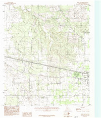
1984 Map of Kirby Lake NE
USGS Topo · Published 1984About this map
Clyde serves as the primary population center in this 1980s Texas landscape, positioned at a significant crossroads where infrastructure meets the rural terrain. The area is heavily defined by energy and transit development, featuring an expansive Oil Field in the northwest and multiple segments of Underground Pipeline and U G P L corridors traversing the plains. These utility lines run parallel to the main roadway, which includes modern amenities like a Rest Area and a Trailer Park near the town center.
Find a feature on this map
14 named features on this map. Tap any name to fly to it.
Don’t see what you’re looking for? This feature index may not catch every label — zoom into the map to look around manually.
Map Details
Editions of this 1984 Kirby Lake NE Map
This is the sole edition of this map. No revisions or reprints were ever made.
Other maps of this area

1890 · Abilene
USGS Topo · 1:125,000

1891 · Anson
USGS Topo · 1:125,000

1892 · Abilene
USGS Topo · 1:125,000

1892 · Albany
USGS Topo · 1:125,000

1893 · Albany
USGS Topo · 1:125,000

1893 · Anson
USGS Topo · 1:125,000

1931 · Baird
USGS Topo · 1:125,000

1932 · Baird
USGS Topo · 1:125,000

1954 · Abilene
USGS Topo · 1:250,000

1957 · Kirby Lake
USGS Topo · 1:62,500