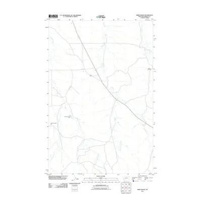
2011 Map of Kirby Ranch
USGS Topo · Published 2011About this map
Kirby Ranch stands as the primary named settlement in this remote portion of Garfield County, where the landscape is defined by a dendritic network of intermittent drainages. The topography is shaped by the descent of Second Creek and its tributary, West Fork Second Creek, alongside the meandering paths of Long Branch Creek and Lone Tree Creek. Ranching infrastructure is central to the area's development, evidenced by water management features like the Claribell Number 2 Dam and the Uthaug Livestock Dam. Transport is limited to a sparse grid of gravel and dirt routes, including Uthaug Rd, which connects the scattered livestock operations across the local coulees and divides.
Find a feature on this map
11 named features on this map. Tap any name to fly to it.
Don’t see what you’re looking for? This feature index may not catch every label — zoom into the map to look around manually.
Map Details
Editions of this 2011 Kirby Ranch Map
This is the sole edition of this map. No revisions or reprints were ever made.
Other maps of this area

1954 · Jordan
USGS Topo · 1:250,000

1956 · Jordan
USGS Topo · 1:250,000

1958 · Jordan
USGS Topo · 1:250,000

1964 · Jordan
USGS Topo · 1:250,000

1964 · Jordan SE
USGS Topo · 1:24,000

1964 · Black John Coulee
USGS Topo · 1:24,000

1964 · Jordan
USGS Topo · 1:24,000

1965 · Kirby Ranch
USGS Topo · 1:24,000

1965 · Darby Buttes
USGS Topo · 1:24,000

1965 · Dice Dam
USGS Topo · 1:24,000