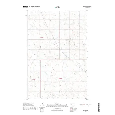
2020 Map of Kirby Ranch
USGS Topo · Published 2020About this map
Kirby Ranch sits at the heart of this high-plains landscape in Garfield County, reflecting the deep-rooted ranching tradition of eastern Montana. The terrain is defined by a complex drainage network, where Long Br Cr and its eastern fork carve through the landscape alongside the winding courses of Second Cr and W Fork Second Cr. To the northeast, Lynch Coulee and Lane Tree Cr break the rolling topography, illustrating the erosional patterns typical of the Missouri River breaks region. Human presence is marked by sparse local routes like Uthaug Rd, which follows section lines to connect isolated homesteads and pastures across the townships. The map documents a sparsely populated but active working landscape where water sources and topographic relief dictate the placement of ranch infrastructure.
Find a feature on this map
13 named features on this map. Tap any name to fly to it.
Don’t see what you’re looking for? This feature index may not catch every label — zoom into the map to look around manually.
Map Details
Editions of this 2020 Kirby Ranch Map
This is the sole edition of this map. No revisions or reprints were ever made.
Other maps of this area

1954 · Jordan
USGS Topo · 1:250,000

1956 · Jordan
USGS Topo · 1:250,000

1958 · Jordan
USGS Topo · 1:250,000

1964 · Jordan
USGS Topo · 1:250,000

1964 · Jordan SE
USGS Topo · 1:24,000

1964 · Black John Coulee
USGS Topo · 1:24,000

1964 · Jordan
USGS Topo · 1:24,000

1965 · Kirby Ranch
USGS Topo · 1:24,000

1965 · Darby Buttes
USGS Topo · 1:24,000

1965 · Dice Dam
USGS Topo · 1:24,000