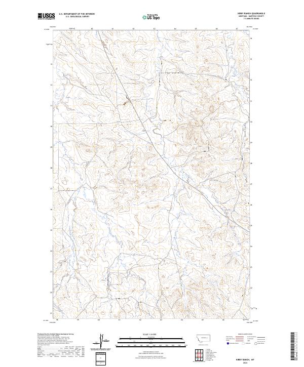
2024 Map of Kirby Ranch
USGS Topo · Published 2024About this map
Second Creek and its various tributaries define the drainage patterns of this Garfield County landscape, recorded in the early 2020s. The map illustrates a series of dry coulees and seasonal watercourses, including Lynch Coulee and the branching network of Long Branch Creek. This area of Montana is marked by the Public Land Survey System grids, with boundaries for t17n r38e and t17n r39e intersecting the terrain. Human presence is sparse, represented primarily by rural routes such as Uthaug Rd and several segments of Co Rd. The terrain is characterized by the intricate contouring of the forks of Second Creek, showing the West Fork Second Creek as it carves through the central portions of the quadrangle. This survey provides a clear view of the topographic relief and the few established access roads serving this remote ranching region.
Find a feature on this map
11 named features on this map. Tap any name to fly to it.
Don’t see what you’re looking for? This feature index may not catch every label — zoom into the map to look around manually.
Map Details
Editions of this 2024 Kirby Ranch Map
This is the sole edition of this map. No revisions or reprints were ever made.
Other maps of this area

1954 · Jordan
USGS Topo · 1:250,000

1956 · Jordan
USGS Topo · 1:250,000

1958 · Jordan
USGS Topo · 1:250,000

1964 · Jordan
USGS Topo · 1:250,000

1964 · Jordan SE
USGS Topo · 1:24,000

1964 · Black John Coulee
USGS Topo · 1:24,000

1964 · Jordan
USGS Topo · 1:24,000

1965 · Kirby Ranch
USGS Topo · 1:24,000

1965 · Darby Buttes
USGS Topo · 1:24,000

1965 · Dice Dam
USGS Topo · 1:24,000