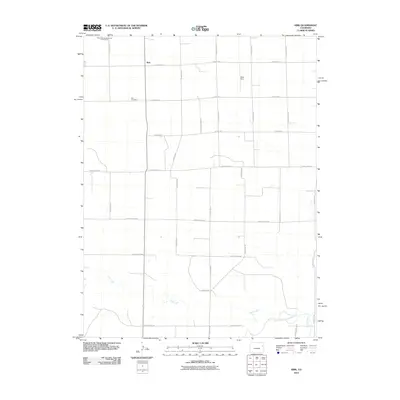
2010 Map of Kirk
USGS Topo · Published 2010About this map
Kirk serves as the primary settlement hub on this High Plains landscape, situated at the intersection of a precise grid of county roads. The settlement is anchored by the Kirk Cemetery to the south and the Royce Darling Memorial Golf Course to the northwest, indicating a community centered on established local landmarks. The topography is defined by the gradual drainage patterns of the South Fork Republican River, which cuts across the southeast corner. This water system is supported by tributaries such as Hell Creek and Spring Creek, which introduce variation into the otherwise structured agricultural layout. This 2010 survey illustrates the modern rural character of Yuma County, where aviation interests like Idlers Field and an extensive network of thoroughfares like County Road RR facilitate movement across the open terrain.
Find a feature on this map
25 named features on this map. Tap any name to fly to it.
Don’t see what you’re looking for? This feature index may not catch every label — zoom into the map to look around manually.
Map Details
Editions of this 2010 Kirk Map
This is the sole edition of this map. No revisions or reprints were ever made.
Other maps of this area

1954 · Limon
USGS Topo · 1:250,000

1957 · Limon
USGS Topo · 1:250,000

1958 · Limon
USGS Topo · 1:250,000

1968 · Joes
USGS Topo · 1:24,000

1968 · Spring Canyon
USGS Topo · 1:24,000

1968 · Adler Creek
USGS Topo · 1:24,000

1969 · Settlement
USGS Topo · 1:24,000

1969 · Tuttle
USGS Topo · 1:24,000

1969 · Idalia SW
USGS Topo · 1:24,000

1969 · Kirk
USGS Topo · 1:24,000