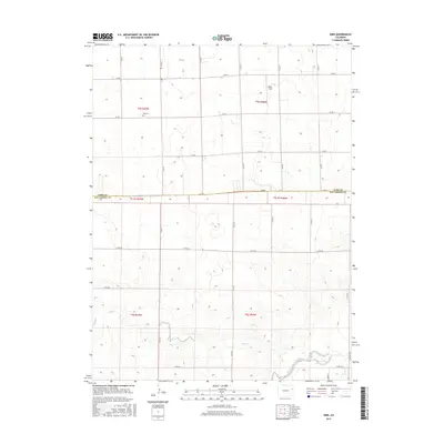
2016 Map of Kirk
USGS Topo · Published 2016About this map
Kirk Cem sits along the northern edge of this High Plains landscape, serving as a primary landmark for local genealogy near the Yuma and Kit Carson county line. The terrain is defined by the ephemeral drainage of Hell Cr and Spring Cr, which channel seasonal water toward the S Fork Republican River in the southeast. This 2016 survey documents the rectilinear pattern of the region's county road system, including Co RD 31 and Co RD NN, which partition the agricultural landscape into distinct sections. Apart from the open grounds of Idlers Field, the map illustrates a sparsely populated rural corridor where the local economy and settlement patterns are dictated by the underlying hydrology of the Republican River basin.
Find a feature on this map
28 named features on this map. Tap any name to fly to it.
Don’t see what you’re looking for? This feature index may not catch every label — zoom into the map to look around manually.
Map Details
Editions of this 2016 Kirk Map
This is the sole edition of this map. No revisions or reprints were ever made.
Other maps of this area

1954 · Limon
USGS Topo · 1:250,000

1957 · Limon
USGS Topo · 1:250,000

1958 · Limon
USGS Topo · 1:250,000

1968 · Joes
USGS Topo · 1:24,000

1968 · Spring Canyon
USGS Topo · 1:24,000

1968 · Adler Creek
USGS Topo · 1:24,000

1969 · Settlement
USGS Topo · 1:24,000

1969 · Tuttle
USGS Topo · 1:24,000

1969 · Idalia SW
USGS Topo · 1:24,000

1969 · Kirk
USGS Topo · 1:24,000