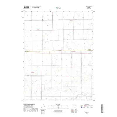
2019 Map of Kirk
USGS Topo · Published 2019About this map
Kirk serves as a central hub in this section of the High Plains, where the grid of county roads meets at the boundary of Yuma and Kit Carson counties. The settlement is supported by the nearby Kirk Cem, a vital site for local genealogical research, and Idlers Field to the northeast. The landscape is defined by the drainage patterns of Hell Cr, which winds through the southern townships toward the S Fork Republican River. This 2019 survey illustrates a deeply rural environment where the expansive township and range system, including t5s r46w and t6s r47w, dictates the placement of farms and transit routes. The intersection of numerous designated routes like Co RD 1 and Co RD 31 highlights the area's continued reliance on a highly structured agricultural infrastructure.
Find a feature on this map
28 named features on this map. Tap any name to fly to it.
Don’t see what you’re looking for? This feature index may not catch every label — zoom into the map to look around manually.
Map Details
Editions of this 2019 Kirk Map
This is the sole edition of this map. No revisions or reprints were ever made.
Other maps of this area

1954 · Limon
USGS Topo · 1:250,000

1957 · Limon
USGS Topo · 1:250,000

1958 · Limon
USGS Topo · 1:250,000

1968 · Joes
USGS Topo · 1:24,000

1968 · Spring Canyon
USGS Topo · 1:24,000

1968 · Adler Creek
USGS Topo · 1:24,000

1969 · Settlement
USGS Topo · 1:24,000

1969 · Tuttle
USGS Topo · 1:24,000

1969 · Idalia SW
USGS Topo · 1:24,000

1969 · Kirk
USGS Topo · 1:24,000