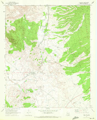
1969 Map of Kirkland
USGS Topo · Published 1972About this map
Skull Valley and the surrounding high desert of Yavapai County are captured here during a period of established ranching and railroad activity. The Atchison Topeka and Santa Fe railroad serves as the primary artery through the valley, passing near the Skull Valley Ranch School and the settlement of Kirkland. The landscape is defined by the drainage of Skull Valley Wash and Copper Basin Wash, which supported a network of named water sources and windmills essential for livestock.
Find a feature on this map
35 named features on this map. Tap any name to fly to it.
Don’t see what you’re looking for? This feature index may not catch every label — zoom into the map to look around manually.
Map Details
Editions of this 1969 Kirkland Map
2 editions found
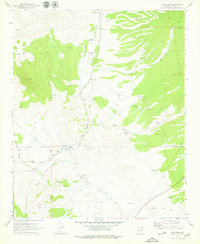
Other maps of this area

1887 · Prescott
USGS Topo · 1:250,000

1892 · Prescott
USGS Topo · 1:250,000

1903 · Congress
USGS Topo · 1:125,000

1904 · Congress
USGS Topo · 1:125,000

1947 · Iron Springs
USGS Topo · 1:62,500

1947 · Kirkland
USGS Topo · 1:62,500

1947 · Sheridan Mountain
USGS Topo · 1:62,500

1948 · Sheridan Mountain
USGS Topo · 1:63,360

1948 · Iron Springs
USGS Topo · 1:63,360

1948 · Kirkland
USGS Topo · 1:63,360