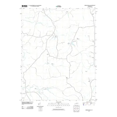
2010 Map of Kirkmansville
USGS Topo · Published 2010About this map
The settlement of Weir stands at the northern edge of this West Kentucky landscape, where a dense network of country lanes and waterways defines the local geography. The area is notable for its high concentration of family-named cemeteries, including Cornett Cemetery, Craig Cemetery, and Heltsley Cemetery, which are scattered among the ridges and creek bottoms. This distribution of burial sites suggests a long history of family homesteads and local church congregations throughout the rural countryside.
Find a feature on this map
56 named features on this map. Tap any name to fly to it.
Don’t see what you’re looking for? This feature index may not catch every label — zoom into the map to look around manually.
Map Details
Editions of this 2010 Kirkmansville Map
This is the sole edition of this map. No revisions or reprints were ever made.
Other maps of this area

1911 · Drakesboro
USGS Topo · 1:48,000

1912 · Nortonville
USGS Topo · 1:62,500

1913 · Drakesboro
USGS Topo · 1:62,500

1952 · Sharon Grove
USGS Topo · 1:24,000

1952 · Allegre
USGS Topo · 1:24,000

1952 · Honey Grove
USGS Topo · 1:24,000

1952 · Greenville
USGS Topo · 1:24,000

1953 · Drakesboro
USGS Topo · 1:24,000

1953 · Haleys Mill
USGS Topo · 1:24,000

1953 · Rosewood
USGS Topo · 1:24,000