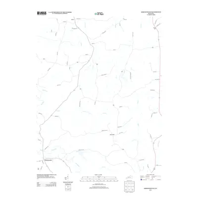
2013 Map of Kirkmansville
USGS Topo · Published 2013About this map
The Pond River meanders through the southwestern corner of this Muhlenberg County landscape, defining the topography near the settlement of Kirkmansville. To the north, the small community of Weir sits amidst a network of rural routes named for local families and landmarks, such as Elkins Cemetery Ln and Emberry Church Rd. The terrain is characterized by distinct rises like Rapid Ridge and prominent points including Tooley Hill and Poe Hill, which overlook a complex drainage system of creeks like Caney Cr and Cow Cr. This survey illustrates a quiet agricultural and residential area where secondary roads like Greenbriar Church Rd and Squires Groves Rd connect dispersed homesteads, reflecting a traditional Kentucky rural structure maintained well into the twenty-first century.
Find a feature on this map
59 named features on this map. Tap any name to fly to it.
Don’t see what you’re looking for? This feature index may not catch every label — zoom into the map to look around manually.
Map Details
Editions of this 2013 Kirkmansville Map
This is the sole edition of this map. No revisions or reprints were ever made.
Other maps of this area

1911 · Drakesboro
USGS Topo · 1:48,000

1912 · Nortonville
USGS Topo · 1:62,500

1913 · Drakesboro
USGS Topo · 1:62,500

1952 · Sharon Grove
USGS Topo · 1:24,000

1952 · Allegre
USGS Topo · 1:24,000

1952 · Honey Grove
USGS Topo · 1:24,000

1952 · Greenville
USGS Topo · 1:24,000

1953 · Drakesboro
USGS Topo · 1:24,000

1953 · Haleys Mill
USGS Topo · 1:24,000

1953 · Rosewood
USGS Topo · 1:24,000