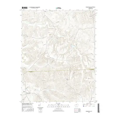
2016 Map of Kirkmansville
USGS Topo · Published 2016About this map
The Pond River snakes through the borderlands of Muhlenberg and Todd Counties, anchoring a rural landscape defined by narrow creek valleys and family-named ridges. At the southern edge of the survey, the community of Kirkmansville sits near Johnsons Bend, while Weir occupies the northern reaches. This topographic record highlights a dense concentration of small family burial grounds, such as Sears Home Cem and Heltsley Cem, which serve as vital markers for genealogical research in this part of Kentucky.
Find a feature on this map
63 named features on this map. Tap any name to fly to it.
Don’t see what you’re looking for? This feature index may not catch every label — zoom into the map to look around manually.
Map Details
Editions of this 2016 Kirkmansville Map
This is the sole edition of this map. No revisions or reprints were ever made.
Other maps of this area

1911 · Drakesboro
USGS Topo · 1:48,000

1912 · Nortonville
USGS Topo · 1:62,500

1913 · Drakesboro
USGS Topo · 1:62,500

1952 · Sharon Grove
USGS Topo · 1:24,000

1952 · Allegre
USGS Topo · 1:24,000

1952 · Honey Grove
USGS Topo · 1:24,000

1952 · Greenville
USGS Topo · 1:24,000

1953 · Drakesboro
USGS Topo · 1:24,000

1953 · Haleys Mill
USGS Topo · 1:24,000

1953 · Rosewood
USGS Topo · 1:24,000